The Channel Islands National Park is a group of five islands located 12-70 miles off the California coast. With only 300,000 visitors annually, this park is one of the least visited national parks in the U.S. Most people opt for day visits to Santa Cruz and Anacapa, but if you’re looking for more adventure, try visiting the island of Santa Rosa.
We had a wonderful time exploring Santa Rosa on foot and we’re certain that you will too. Read on to learn all about hiking and camping on Santa Rosa Island to help you plan your trip!
Content and photographs provided by Yana Kogan and Timon.
Disclaimer: This post may contain affiliate links. If you make a purchase or booking through one of our links we may earn a small commission (don’t worry, it’s at no extra cost to you).
Guide to Visiting Santa Rosa
Best Time to Visit the Channel Islands
The Channel Islands are a year-round destination due to the warm climate in Southern California. Santa Cruz, the main island, is open all year. However, other islands, including Santa Rosa, are only open seasonally.
Backcountry camping in Santa Rosa is permitted between mid-August and December. The best time to visit is between September and October when there are warm days and the wind is not as strong.
How to Get to the Channel Islands
Island Packers Cruises is the public ferry to several of the islands. You can reserve tickets online. It is a one-hour ferry to the island of Santa Cruz, and 2 hours 30 minutes to the island of Santa Rosa.
Ferry Costs
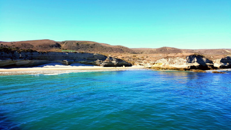
- $63 per person to Santa Cruz and Anacapa for day trips
- $84 per person to Santa Cruz and Anacapa for camper transport
- $120 per person to Santa Rosa for overnight trips
Backpacking on Santa Rosa Island
Hike Mileage and Elevation
- 1st Day: 9.5 miles, 594 feet gain, 4 hours 30 minutes
- 2nd Day: 11.9 miles, 2667 ft gain, 6 hours 15 minutes
- 3rd Day: 12.8 miles, 1,289 ft gain, 6 hours 45 minutes
- Total Hike: 34.2 miles, 4550 ft gain, 17 hours 30 minutes
Hiking Guide
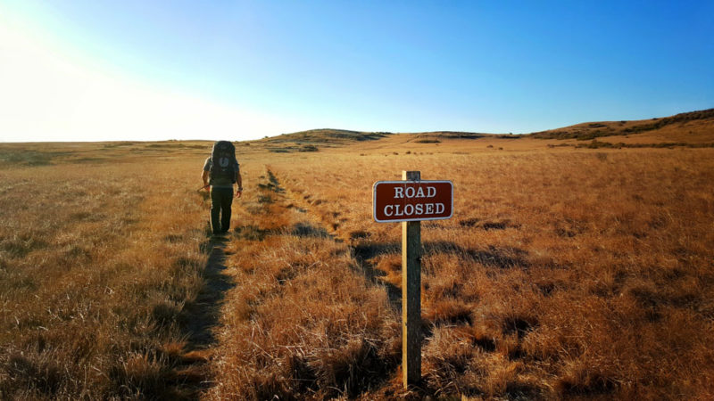
The beauty of backcountry camping in the Channel Islands is you can create your own unique hike. There are several trails, many of which intersect. There is no defined route, so set out and say goodbye to all the people at the main campground.
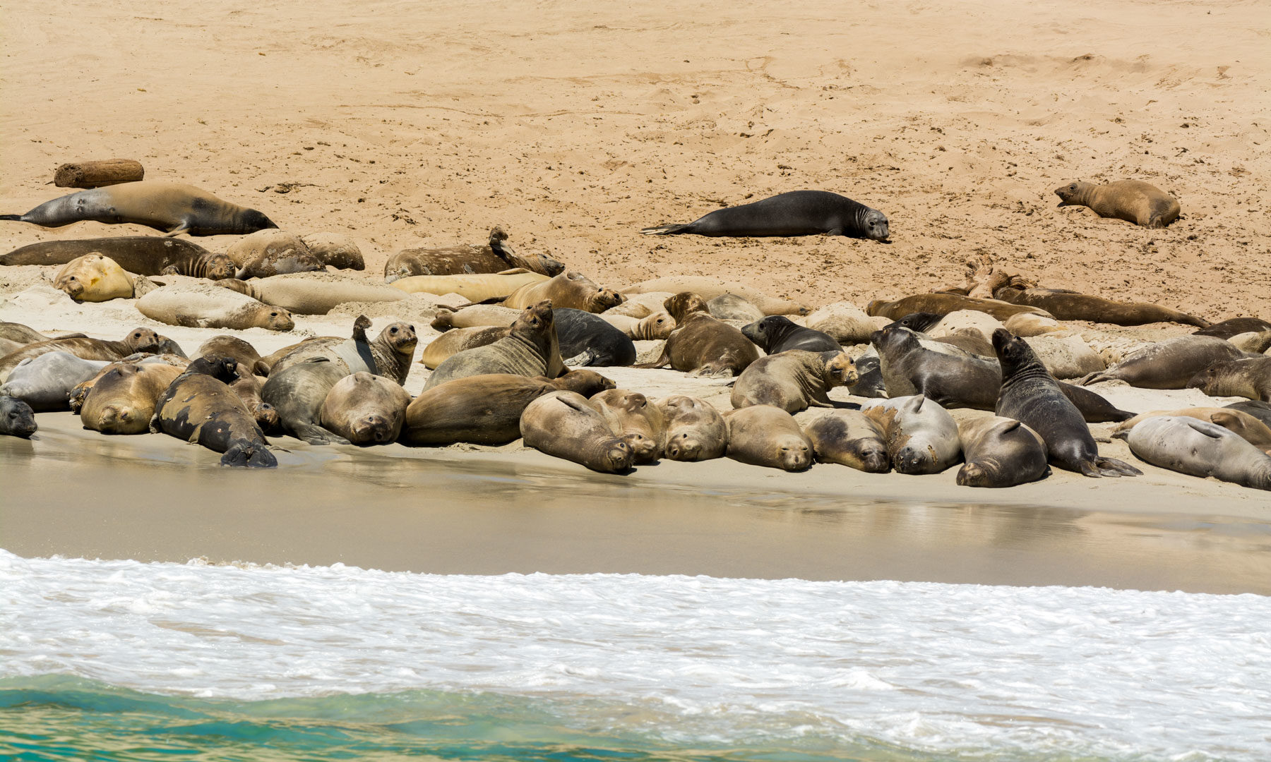
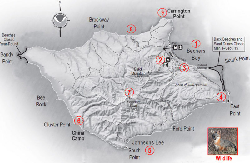
From the boat, it is 1.5 miles from the pier to the Water Canyon Campground. Most will stop here as this is the only campground on the island. Backcountry hikers should stock up on water here. The closest beach for backcountry camping is 9 miles. Several areas of the island are off-limits for camping due to seals and birds.
Head past East Point and to the southern coastline of the island, where there are endless camping opportunities.
Water Sources on Santa Rosa
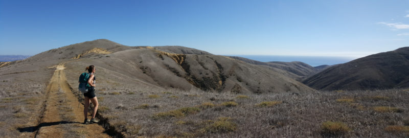
There are only a few water sources in Santa Rosa, so make sure all your hiking and camping spots consider when and where to get water. The main campground at Water Canyon has a water tap, and the next closest is on the southern coastline along the ridgeline.
There is water located up the ridge from Ford Point near the intersection of the Water Canyon Trail and San Augustine Canyon. This water is not potable, so make sure to filter all water. This is a 6-mile hike from East Point.
Stop at Skunk Point
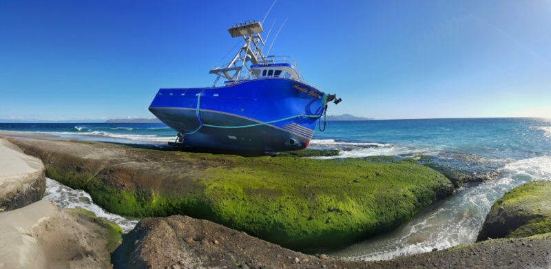
From Southeast Anchorage, you can detour on a coastal trail to Skunk Point. This beautiful sandbar and dunes at the end of the island are off-limits for camping but well worth a stop. We were also able to see a recent shipwreck that occurred just a week earlier.
That’s It! We hope you have a wonderful trek around Santa Rosa Islands!
Planning a trip to California? Check out our favorite books and travel guides!
SHARE THIS ON PINTEREST
